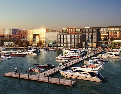
How a Waterfront Becomes Redevelopment Gold
Mike Aziz of Cooper Robertson on what it takes to sort through the complexity of transforming a rundown area into the next big urban destination.
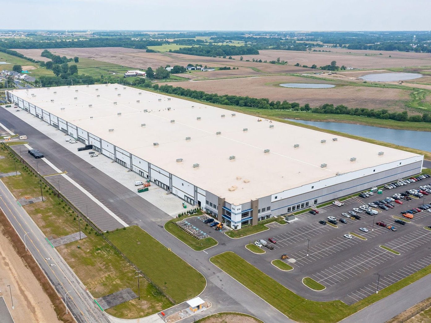
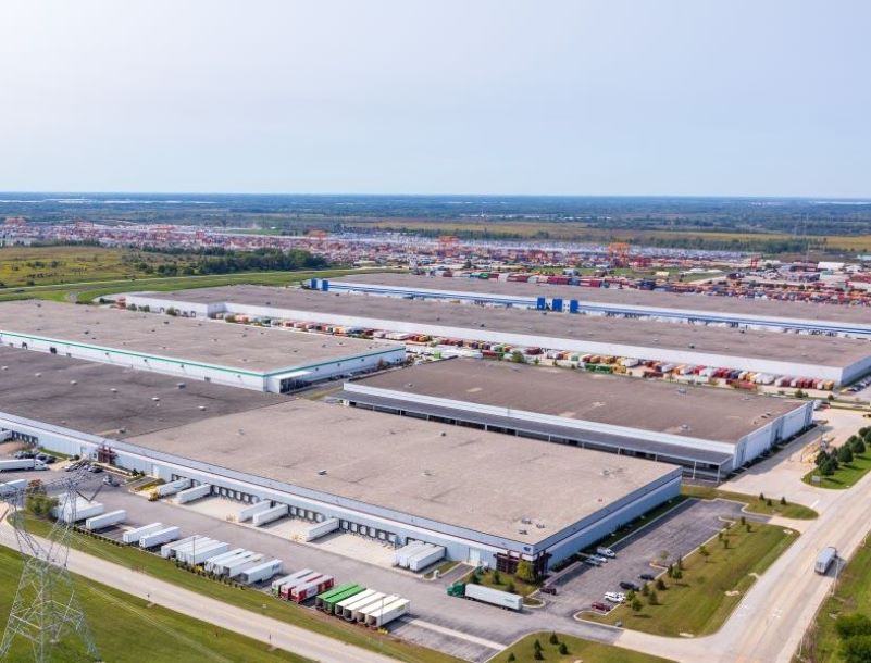
Over the past several decades, the redevelopment of post-industrial waterfront sites has been one of the most compelling trends shaping cities across the United States and around the globe.

It’s easy to see why: As a place of both excitement and calming respite in the urban world, people’s innate desire to be at the water’s edge makes these areas inherently desirable.
For many developers, it would seem that any such project is bound to succeed. As architects and urban designers who have worked on waterfront projects from coast to coast, we have found that the reality is often more complicated, involving intense risk analysis, extensive remediation and comprehensive framework plans—not to mention intricate entitlement processes and the need to garner community support.
What does it take to sort through this complexity and turn a big, dirty waterfront into the next big urban destination?
The most successful waterfront project teams follow three key steps in the pre-design process, and these best practices can offer a roadmap for any development group considering major waterfront work.
Evaluating development risk
Understanding and evaluating risk is a fundamental building block of any development venture. For a waterfront project, this process is especially critical, and some of the most impactful considerations surround environmental risk. These are risks that are inherent in the site based on past use, or that encompass future vulnerabilities related to flooding and storm surges—and often some combination of the two.
For many waterfront sites, the most prevalent risks come from past industrial uses and are largely focused on soil and groundwater remediation. If the development team already has ownership over the parcel, a team of engineers and geotechnical specialists can establish the level of contamination and risk.
For development teams considering a property acquisition, the current owner will commonly provide an existing-conditions report to disclose known environmental contaminants and inform the price of the disposition. The owner will also commonly provide a statement of fact regarding flood risk based on current FEMA levels—a critical baseline to establish early in the planning process since it determines long-term viability of any waterfront development site.
Development teams should also be prepared to work with and understand an extensive array of public agencies and their overlapping requirements. This can be a startling realization for anyone who’s worked primarily on inland sites. If contamination from a brownfield parcel has reached far enough out into a chartered waterway channel, for example, the Army Corps of Engineers may get involved in remediation.
For post-industrial sites with sensitive natural environments that are part of the assemblage, such as wetland delineations, special migration corridors, or breeding grounds, it’s also crucial to be aware of how these protected environmental conditions may impact development plans. For example, our firm recently worked with a development group whose 500-acre site held just 60 buildable acres after the final analysis. It’s crucial to understand and layer these risks in order to figure out how and what to build.
Development teams need to understand this full picture in order to make a judgment on whether or not the project pencils out. Although architects and planners are often brought on at a later stage, they can play an important role in these pre-development decisions, helping to evaluate a site and lay out what potential planning, permitting, design and construction processes would look like under a range of possible scenarios.
Creating the plan, aligning with site conditions and stakeholders
After risk is established and the development team decides to move forward, a strong planning and design partnership becomes essential in creating a plan and aligning it with the realities of the site. Even on a relatively small waterfront parcel, for example, not every part of the site will necessarily be suitable for all uses.
For both cost and permitting reasons in mixed-use, multibuilding projects, it’s common to remediate a site to varying degrees. Some areas will be remediated to the lowest level of risk, to allow for residential development. Other areas will be remediated to different levels, such as light industrial, park or commercial uses. This is often a dynamic process, and it’s possible—and occasionally even a necessity—to do it on the fly.
Project teams can conduct test bores of ground conditions to clear a site for residential use and flip to a less sensitive use if the conditions don’t pass environmental muster. For larger projects, this process can be a long-term give-and-take over an extended period of time, and development leaders should anticipate that there may be a need to respond to environmental conditions or market changes over the course of the planning and design process.
Any successful waterfront development plan must be flexible enough to accommodate these circumstances, and the best plans are laid on a highly adaptable framework. A robust street or pedestrian path grid and a strong public realm network will set the stage for any number of different and evolving uses that respond to the market and/or environmental conditions as necessary.
This stage of the planning process is also where development teams should work with their design partners to begin a proactive phase of collaborative engagement with municipal and community partners. Starting this process early can pay off big—encouraging stakeholders to air key desires, concerns and issues at the beginning means that when entitlement comes, people will know what to expect, understand the project’s benefits and buy into the plan.
Effective strategies for this include holding listening sessions and leading walking tours with key stakeholders to connect conversations with actual observations of the site. Running collaborative work sessions rather than presentations can also help the community feel more involved. In the end, the goal is to make a plan that people want and will advocate for as strongly as the development team. The plan needs to feel beneficial for the community, and also achievable so that people have confidence that the development team can get it built.
Architects and planners play a major role in this process, facilitating and visualizing important conversations. One lesson from the challenging pandemic period has been that there are real benefits to virtual engagement sessions. In certain demographics, such as working families, there will be a higher level of engagement and participation and a more diverse group.
The ability to easily record sessions is another benefit. If these conversations are facilitated properly, with breakout rooms, polling, etc., it’s possible to engage people who might not have participated before. This leads to more equitable input and a truer sense of stakeholder opinion, and can ultimately make or break a project when it comes to community support down the road.
Creating flexible, actionable entitlement packages
The entitlement phase is about building and articulating a vision and building consensus around it from the community, stakeholders and the planning authorities. This third phase should overlap with the second phase, and architects and planners can play an important role here also, alongside land-use counsel and other key project team members.
From the development team’s perspective, entitlement needs to focus on intelligently and strategically crafting commitments. Building in maximum flexibility is instrumental to success. For larger mixed-use projects especially, the entitlement package should not be too specific on market focus or the precise use of the land, but it has to offer clarity on the intensity of the uses.
In a waterfront project, this means that the framework should include clear commitments to public access such as an active promenade (or even in-water benefits like a marina), while also allowing the flexibility to adjust housing types from apartments to townhomes.
Once again, it’s important to understand the local regulatory context and zoning, and to build some flexibility into the framework plan. Often there will be a cap on the maximum number of housing units, or the maximum amount of commercial square footage. Sometimes a development team will even get to the negotiating table and local leaders suddenly ask for a community facility, such as a performing arts center or memorial park.
Creating a framework plan that can accommodate these surprises will help insulate the project against some of these challenges. This is also why the outreach phase is so important—it can help identify elements that local leaders or interest groups will try to use as leverage during the entitlement process.
By understanding what it takes to really, successfully redevelop a post-industrial waterfront site, development teams can generate tremendous value from these desirable areas, in all senses of the word. The benefits are diverse and real, and with clear guidance the big, dirty waterfront can clean up its act and transform for its next chapter.
Mike Aziz, AIA, LEED AP, is a partner & the director of urban design at the architecture and urban design firm Cooper Robertson in New York. A leading planner and designer of mixed-use waterfront districts, he has more than 15 years experience of award-winning work nationwide. His portfolio includes the Hunters Point/Candlestick Point Streetscape and Public Realm Plan, Riverton, a waterfront development and the largest mixed-use project in New Jersey history, and a large private sector mixed-use development on the Brooklyn waterfront.
You must be logged in to post a comment.